

































The drone era in the field: New habits in spraying, mapping and yield forecasting
Farm drones are being used for everything from spraying to crop health mapping. Our video report gathers experiences from the field.
Table of contents
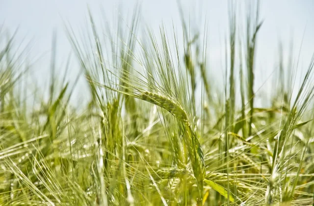
Farm drones, seen only at trade shows a few years ago, have become a routine part of the field in many regions today. Drones that spray cotton, corn and grain fields, image crop health in orchards and map irrigation needs are drawing interest, especially in rural areas where labor is getting scarce. Young entrepreneurs offering drone spraying as a service travel from village to village throughout the season to reach growers. But experts stress that drones must be operated in line with the relevant regulations, pilots must be trained and application rates must always be set together with an agronomist. In our video report, you can watch drones at work in the field and hear from the growers using them.
Precision spraying
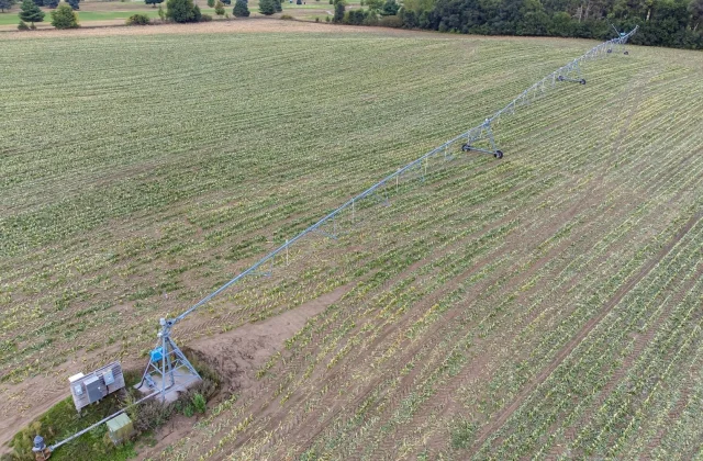
Spraying is the most common use for farm drones. Able to cover large fields in a short time, drones offer an advantage especially on muddy or sloping land where tractors struggle to go. Thanks to precision spray systems, crop protection products can be applied only to the target area and at a preset rate. Growers say this method lets them cut both water and chemical use while avoiding crop and soil damage from machinery. In villages where labor is scarce, that speed is a big help for growers.
But experts stress that drone spraying must also always follow an agronomist's recommendation. Which product to apply, at what rate and in what weather should be decided with factors such as wind speed and temperature in mind. Incorrect application can harm neighboring fields and bee colonies. That is why notifying local beekeepers before spraying is held up as an example of good practice. Keeping application records also matters, both for traceability and for planning future seasons.
When the drone flew over the field, we saw in a few minutes the problems we had missed for years on foot.
Jake Morales
From images to maps: Tracking crop health
Imaging and mapping are another key use for drones. Fitted with special cameras, drones fly over a field and create maps showing crop health. These maps can reveal water stress, nutrient deficiencies or the onset of disease at an early stage, when they are hard to spot with the naked eye. The grower can then focus on the problem area instead of treating the whole field, saving on input costs. This approach forms the basis of what is known as precision agriculture.
Mapping data is also used for yield forecasting. Images captured on flights before harvest give an idea of how much each plot can be expected to produce. That information is valuable for planning storage and sales. In orchards, drones are used to count trees and track canopy growth. Brian Tate, a fictional young entrepreneur on the southern delta plain, says he travels from village to village offering growers both spraying and mapping services. Tate says a large share of the growers he works with call him again the following season.
Rules, training and cost
Drone use must comply with the relevant regulations. Growers need to follow current rules on registration, pilot certification and flight restrictions through the official channels of the relevant agencies. Experts stress that untrained use can create safety risks as well as ineffective applications. That is why growers thinking of buying a drone are advised to get trained first and, if possible, gain experience by working with service providers. Heading out into the field without training can cost both money and time.
| Topic | Agtech |
|---|---|
| Highlights | drones, soil, harvest |
| Reading time | 6 minutes |
| Written by | Jake Morales |
Key takeaways
- With precision spraying, drones can reduce water and chemical use.
- Imaging maps reveal water stress and disease early.
- Use must follow regulations; rates should be set with an agronomist.
Cost is also a deciding factor for small growers. The upfront price of a professional farm drone can exceed the budget of many family farms. That is why cooperatives buying drones together and pay-per-use service models are becoming more common. Brian Tate says most of his customers farm small fields of just a few acres, and the service model is the best fit for them. Costs are expected to fall as the technology becomes more widespread.
What do you think about this post?
2 Comments
Really useful piece, thank you for putting it together.
I had never thought about this side of it. Looking forward to a follow-up.