




























































Special report: Drying lakes, emptying villages and a silent crisis
Over six months of fieldwork, we documented the transformation of villages around drying lakes. Water loss is killing farming and pushing young people to move to the cities.
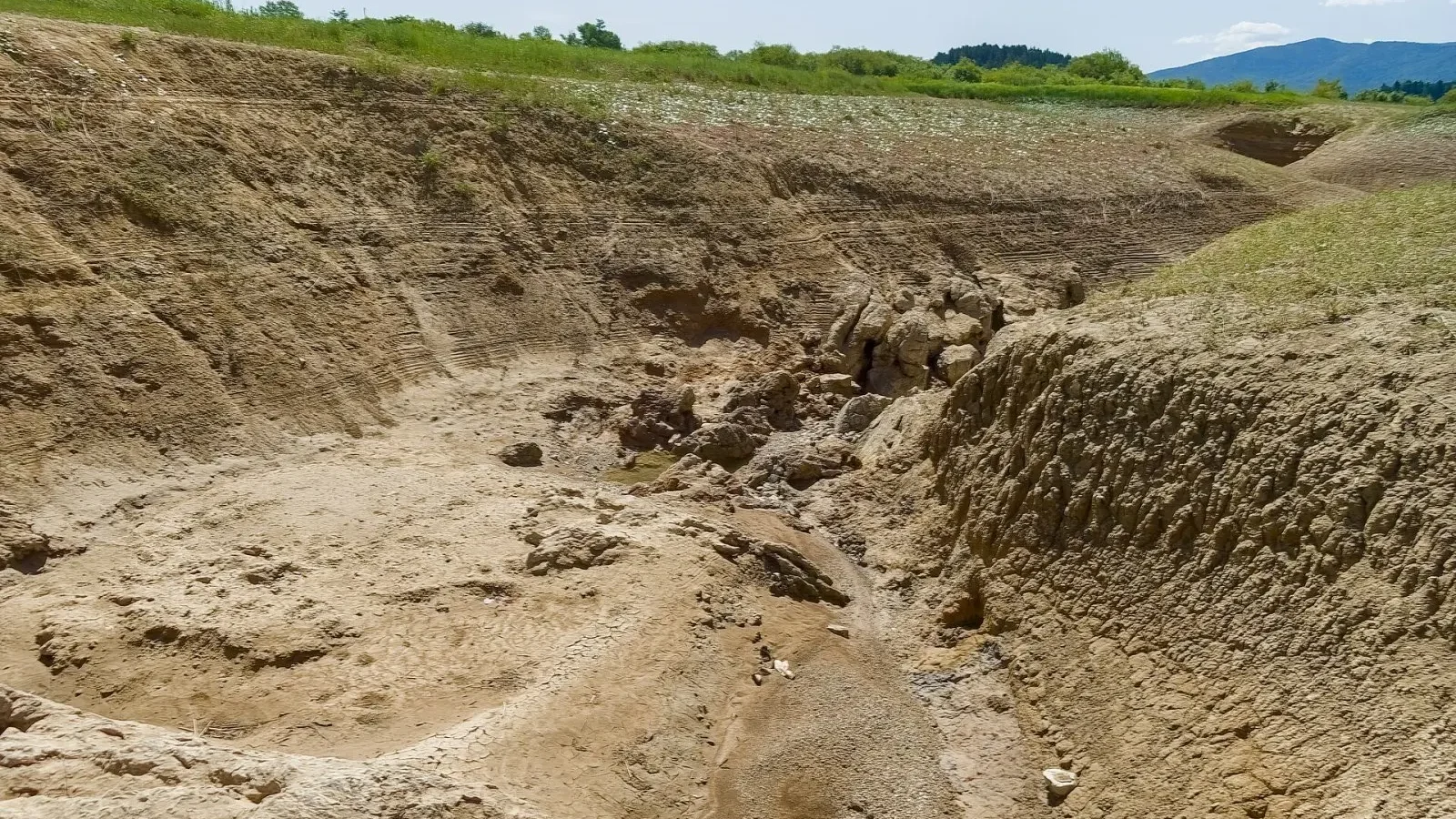
Table of contents
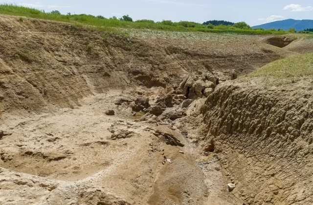
Thirty years ago, fishing boats moored along its shore. Today the lake is a flat expanse of cracked earth. For six months, our team traveled across three large lake basins in the interior, analyzed satellite imagery and interviewed dozens of villagers. The data we gathered show that the lakes' surface area has shrunk by half over the past thirty years. As water loss wipes out farming and livestock, the villages' young people are being forced to move to big cities.
What do the satellite images tell us?
When we put thirty years of satellite archives for the three basins side by side, the picture is too clear to dispute. The shoreline retreats a little further every winter, and the salt crust exposed in summer spreads over a wider area every year. To compare the images with measurements on the ground, we mapped, one by one, the old shoreline points that villagers marked for us.
In one basin, the surface area shrank by half over thirty years, while in the neighboring basin the decline was slower. Rainfall alone doesn't explain the difference. The number of wells in fields near the shore rose sharply, and groundwater pumped for irrigation weakened the sources feeding the lake. Satellite data alone does not prove this link, but it strongly supports the testimony on the ground.
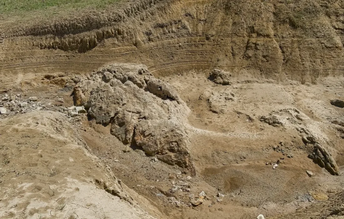
The lake dried up, and the village's future dried up with it.
Emily Carter
The migration route from the fields to the cities
As the lake receded, fishing ended first, and then irrigated farming became harder. We asked the heads of the fourteen villages we visited for their registered household numbers; in many villages, the number of households has fallen markedly over the past decade. Those who leave are mostly young people. They go first to regional towns, then on to construction and textile jobs in big cities. Many of them keep sending money home to the families they left behind every month.
Those who stay are selling off their livestock and trying to switch to crops that need less water. Some families have given up their gardens and make do with a few acres of dry farming. Combined classrooms, shuttered grocery stores and health posts open only two days a week show that migration is not just a population figure; it is dismantling the town's daily life. Village leaders sadly describe another classroom closing every year.
What experts and officials say
The hydrologists we interviewed say basin management should be planned around the watershed, not around provincial or district boundaries. Today, they explain, three separate administrations feeding off the same lake can each issue well permits, and unregistered wells make the picture even more complicated. They stress that without a shared inventory, it is hard to make the right decisions.
| Topic | Special Report |
|---|---|
| Highlights | climate crisis, migration, investigation |
| Reading time | 12 minutes |
| Written by | Emily Carter |
Key takeaways
- Lake surface area in the three basins has halved in thirty years.
- The rise in wells is one factor explaining how fast the shrinking shows up in satellite data.
- Experts recommend joint basin-wide management and a well inventory.
Local representatives of the relevant agencies say they have stepped up well inspections and are supporting the shift to drip irrigation. Villagers, however, feel these steps have come too late. In this part of the report, we bring together the technical recommendations and the villagers' demands: a shared well registry, support for changing crop patterns and rural services that make it possible for households to return if they want to. Both sides say the issue needs to be tackled around a common table.


Leave a comment